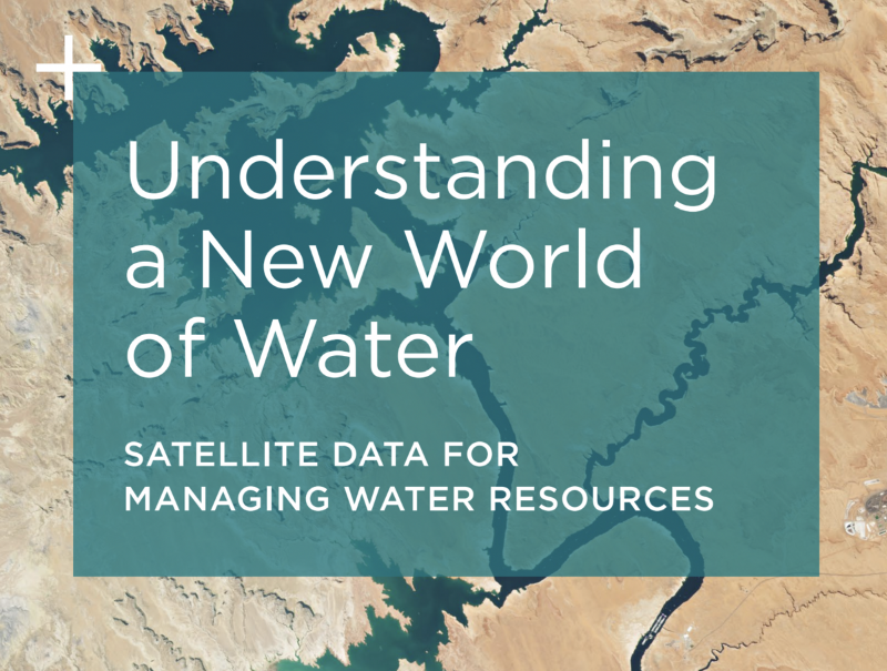
Planet: Understanding a New World of Water
Published on 08 Aug 2023

Water, a critical and dynamic natural element covering about 71 percent of Earth's surface, is the foundation for numerous essential activities such as drinking, agriculture, energy, and trade. However, as climate change accelerates and population growth increases demand, the challenges associated with water management intensify.
This whitepaper published by Planet delves into the transformative role of satellite imagery in revolutionizing water resource management for governments worldwide, emphasizing the need to protect biodiversity and ensure equitable distribution of this invaluable resource.
Climate Change Challenges: Shaping an Unpredictable Future
Climate change is destabilizing the reliability of water resources, causing more frequent and severe droughts, floods, and warming waters. These changes adversely impact communities, habitats, ecosystems, and socioeconomic systems. In this uncertain landscape, water management and emergency response systems must adapt to predict and manage these unpredictable water-related events while maintaining sustainable practices and flood control measures.
California's Drought Emergency
An illustration of the dire consequences of climate change is the 2021 drought emergency declaration by California's governor in the Russian River and Klamath Basin watersheds. Satellite imagery reveals the extent of vegetation health deterioration due to water scarcity and the diminishing water levels in reservoirs due to lack of water management, which threatens power supply and agricultural water access.
Leveraging New Data for a Transformed World
Collaborative efforts between the public and private sectors are pivotal for effective and efficient policy decisions and emergency responses. Satellite data serves as the foundation for these collaborations, providing crucial insights into understanding the scale of water-related issues across various regions. Cloud-based data solutions facilitate strategic water resource management, enabling transparent measurement of policy objectives and outcomes.
Monitoring and Regulating Water Usage
Monitoring and regulating water use is a challenge governments face to ensure equitable distribution. Satellite imagery, such as that provided by Planet, aids regulators in monitoring water intake, identifying illegal waste dumping, and tracking developments that disrupt natural ecosystems. This data empowers officials to create comprehensive reports, enhancing regulatory efforts for effective water management.
New South Wales Water Management
The Department of Planning, Industry, and Environment (DPIE) in New South Wales, Australia, utilizes Planet's high-frequency satellite imagery to monitor on-farm water storages and river off-take channels. This aids in tracking changes during compelling events, enabling informed decisions regarding water management restrictions.
Safeguarding Aquatic Biodiversity
Freshwater and coastal marine ecosystems are vital for sustenance and recreation, making their protection crucial. Frequent satellite imagery assists decision-makers in detecting changes and adapting resource management strategies to prevent habitat loss.
Balancing Economic Growth and Marine Conservation
The Mississippi Department of Marine Resources (MDMR) ensures balanced use of marine resources. Utilizing satellite imagery, MDMR validates compliance with regulations, preventing illegal habitat destruction and ensuring transparent permit compliance. This approach saved a project applicant significant costs.
EOMap's Efforts in Sardinia, Italy
EOMap, with EU Horizon 2020 Space-O project support, aided the Water Authority of Sardinia, Italy (ENAS), in monitoring water quality in the Mulargia reservoir. High-resolution satellite imagery facilitated continuous reporting on chlorophyll-a, turbidity, temperature, and harmful algae blooms, guiding local policy decisions for effective water management.
Reliable Insights for an Uncertain Future
In a rapidly changing world, satellite data offers a powerful tool for comprehensive water resource management. With cloud-based solutions like Planet's, governments can adopt these technologies seamlessly, resulting in faster, informed decision-making and efficient resource allocation.
Download Planet's whitepaper to learn more about the new world of water management with satellite data used for managing water resources.
